Cornish Walks - Black Head on the Lizard
The Lizard is a fabulous zone for walkers and beach-lovers, and that’s partly because there is an awful of peninsula down there forming the West Country’s southerly cape, so it easy to get away from the crowds which inevitably start swelling in Cornwall at this of the year.

I was amazed one day to discover how busy the actual Lizard Point area was when we went there to hear the latest news about the famous resident choughs - it was a Monday afternoon and Britain’s most southerly tip was jam-packed with visitors.
But a few miles north east there is one of the emptiest corners of the Cornish coast you will ever explore. The Lizard is very much a tale of two halves – as the World Cup football pundits say – the west coast is quite different from the east. A good deal better known certainly - Mullion and Kynance Coves play host to hundreds of thousands of visitors each year, while the wilder environs around Black Head to the east probably see no more than several score.

Just gaining access to the wonderfully named Arrowan, where this walk begins, will take you through some of the loneliest landscapes to be found anywhere in the West Country. We drive down the lane which leads straight as an arrow over Arrowan Common and find a place to park just before the entrance to the farm. There is a grassy pull-in by the remains of one of the those small galvanised windmills that you used to see all over the South West, but which have for the most part sadly disappeared.
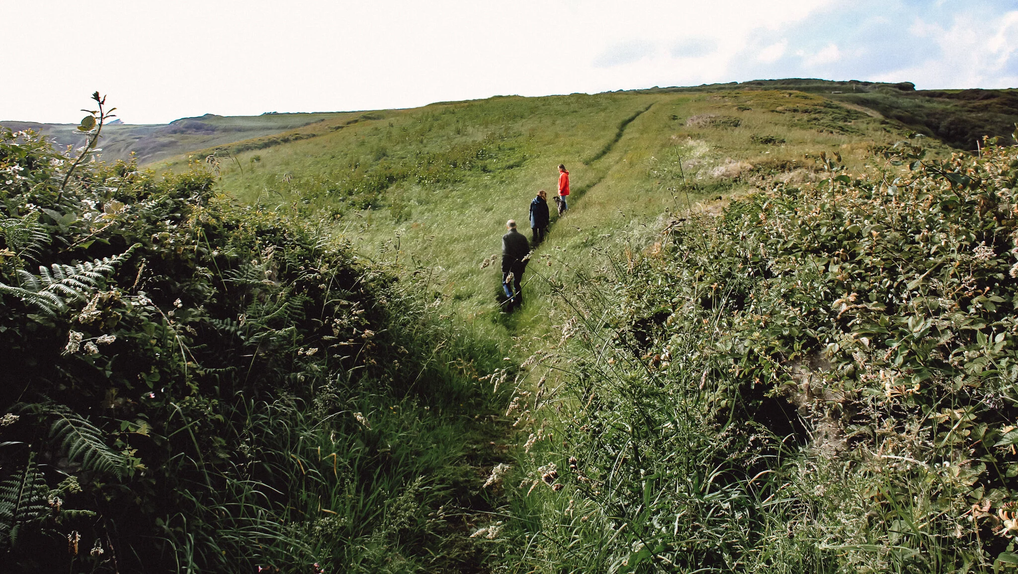
From here we took the track opposite - it’s a public right of way that leads past a solitary and down across a couple of fields to the South West Coast Path. The track took us away from the bleak but beautiful plateau, with its flat windswept aspects looking more like something out of mainland America than anything you normally see in Europe, and introduced us to the spectacular delights of what must be one of the least tramped bits of coastline in Cornwall.

Standing stone line the way at Arrowan

The two paths join at the base of a mini-head-land called Lankidden which separates a little bay that’s shares its name and bigger, wilder, Spernic Cove. Like so many Cornish head-lands, Lankidden boasts an Iron Age fort or cliff-castle - and you can easily see the ramparts of the ancient place rising up above the grassy sward.
These places were used for many centuries - no one really knows if they saw service in local wars or if they were more for ceremonial purposes - but people carried on living and working out on some of these remote chunks of coast right up until the Middle Ages. At Lankidden there are the remains of a prehistoric field system.

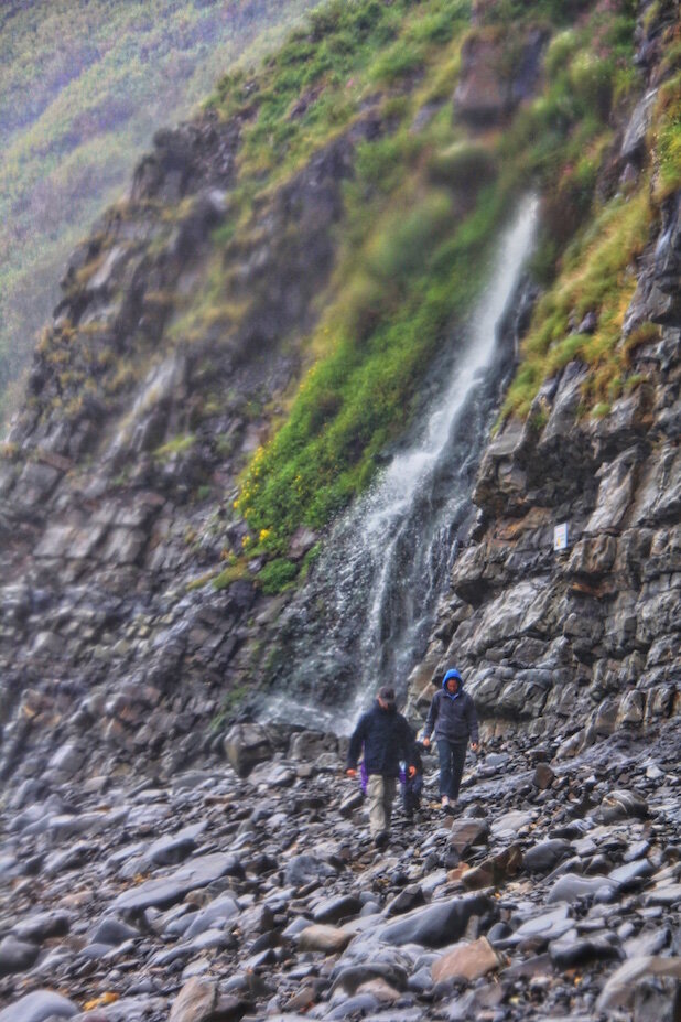
The reason I’d found myself in this out-of-the-way spot was because Lizard landowner and all round enthusiast for all things Lizardian, Sir Ferrers Vyvyan, had tipped me off that one of the best local beaches was to be found nearby. Lankidden Cove does look fantastic but be warned - it completely disappears around high tide and it is very difficult to reach. Indeed, the last 30 feet have to be done with the help of a rope.
It was high tide when we were there, so we set off east towards the altogether bigger head-land called Black Head. The coast path first crosses a rump of land known as The Gaider, before descending abruptly into the valley which issues out onto the shore at Downas Cove. Now it climbs again, curving south as it does until we’re high on the cliffs above a tiny bay called Beagles Hole.

The path winds through the tussocky, scrubby, cliff-top heathland above Treleaver Cliff the half mile or so to Black Head. For the first half of this section you are treated to sweeping views that stretch all the way west around to Lizard Point – in the second half you get a more intimate panorama of the cape that sounds like a facial blemish.
All the way along you see evidence of the grazing management programme put in place by the National Trust. Acres of invasive gorse have been knocked back so that, at this time of year for example, you can see carpets of violets that would not otherwise exist. No doubt all this is good news for the local insect life, which in turn means the area will be far more user friendly for birds like the aforementioned chough.

The other thing you notice along this trek are the many rock formations, created from the weirdest looking rock I have ever seen. I’m not sure what manner of stone this is, but it has a tendency to become grooved and cracked so that the overall effect is the sort of thing you might see in a modern sculpture at the Tate, St Ives.
The lofty peak of Black Head is capped by a tiny coastguard’s look out hut which the trust keeps open as a shelter to walkers who may wish to find respite from the winds that never ever cease to blow here.
Black Head is a great place from which to see basking sharks – but alas we saw neither baskers nor marine mammals of any description. Never mind, it is a great place to sit and wile away an hour or two far from the madding crowd.

You have a choice at Black Head – if you are pushed for time you can find the gateway just north of the hut that will introduce the permissive path that allows you to exit the rear of the headland – this leads directly across the fields to the trust car park at the hamlet of Treleaver, although tends to be very muddy.
Or you can do what we did and that is to head north along the coast path to Coverack. This wonderful wander takes you along yet more airy heaths that have been cleared – this time in the upper environs of Chynhalls Cliff.
Eventually we arrive high above Porthbeer Cove, where you will see the remains of tiny fields that were once a splendid and productive feature of both Cornish and Devon south coasts. All manner of early vegetables were grown here between the tamarisk hedges, which still remain today.
The veg has long gone, as has the big Victorian hotel that once bought up the produce from the farmers. Its structure still dominates the skyline, but now plays host to private apartments.

You can walk down into Coverack for refreshment if the mood takes you, but we found the track that heads inland just west of a sea rock that the map refers to as The Oxen. This climbs to join Coverack’s southerly access lane, but we had no need to tread on its asphalt, as we were able to turn immediately left and follow the footpath over the fields to eventually reach the hamlet of Trewillis.
Directly across its access road the path continues southwest again across three flat fields to Treleaver. From here we walked down the lane back to the coast path so we could turn right and make our way back to Lankidden and then Arrowan.
This is a two hour lasso-shaped stroll that contains only one real up and down (which is rare for coastal walking in the Westcountry) and it is stuffed full of sweeping panoramas. Indeed, it is as good a headland hike as you’ll find anywhere around this peninsula of headlands.
Fact File
Basic walk: from Arrowan in the south east corner of the Lizard south to Black Head, then north to Coverack, returning first via an inland route.
Recommended map: Ordnance Survey Explorer 103 The Lizard.
Distance and going: three miles easy going but can be muddy
in places.