Somerset Walks - Larkbarrow and Alderman's Barrow
We’ve been locked up indoors too long – what with the winter weather and the pandemic, many of us are getting claustrophobic. We have had enough…
Larkbarrow, Central Exmoor
So I was thinking the other day. Something snapped inside me – I found the extreme climate gear I once took to the Yukon with me, climbed into the car, and drove up to the roof of the West Country.
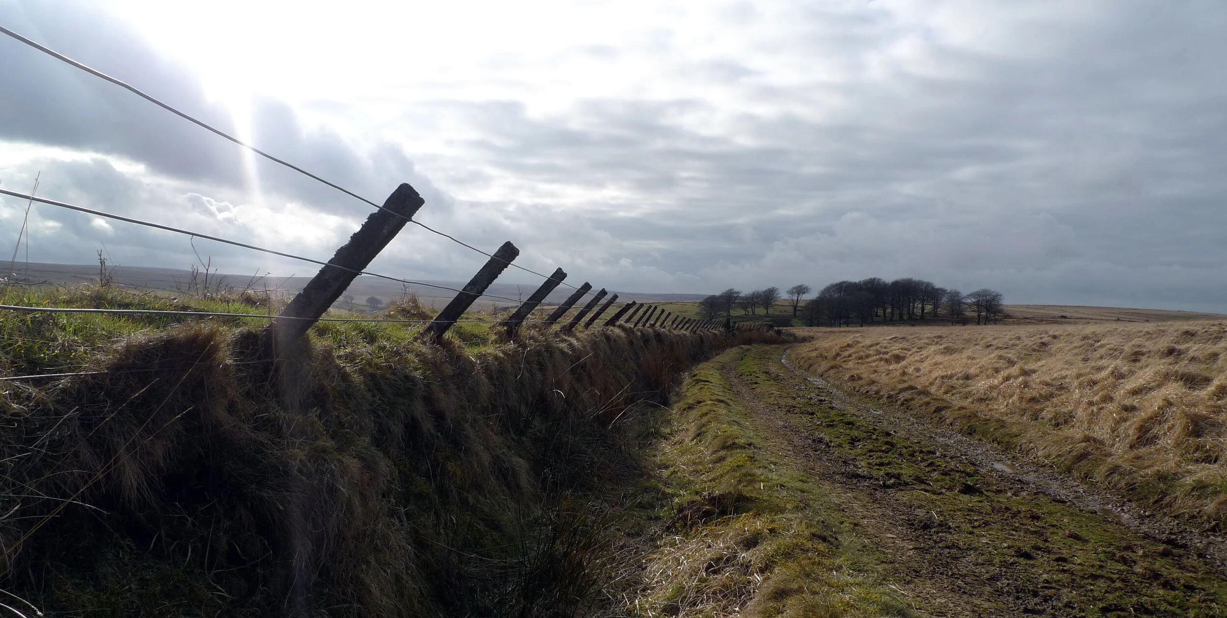
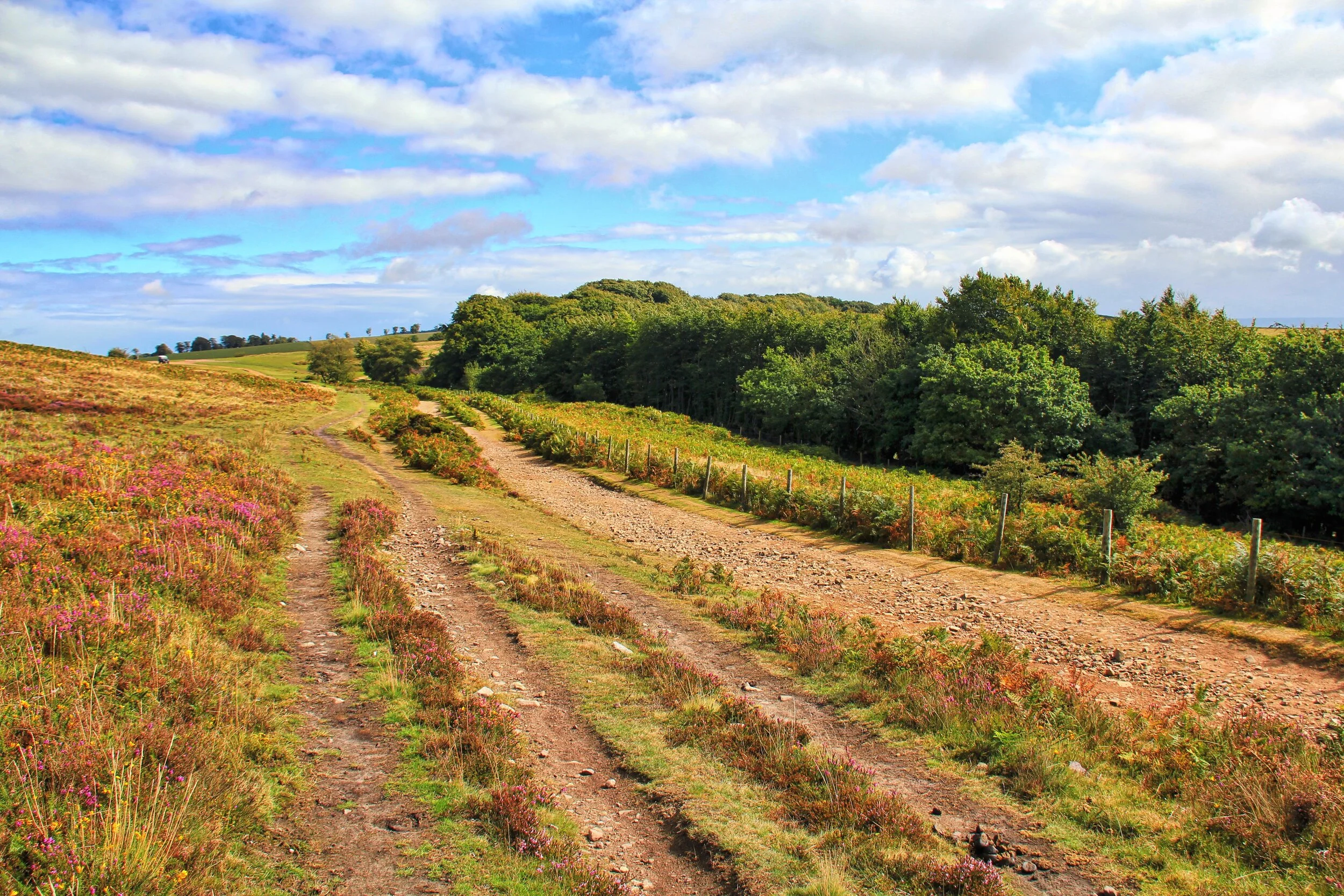
The track to Larkbarrow, central Exmoor
The bit of roof I’m talking about isn’t that far from me – and what I thought as I drove was: what a person needs is altitude. He or she needs air and space – and lots of it.
Here in the West Country we are lucky because we have some of the best spaces imaginable that can assuage the yearning for the wide open emptiness which only highland wilderness can offer.
Dartmoor has it swathes – Bodmin Moor has some excellent sweeping scenery too – but there is one central area of Exmoor that particularly fits the bill.
The great waste, to use that word in the old fashioned sense, that lies west of the Dunkery range and provides the young River Exe with a vast bastion to guard its northern banks – is Southern England’s answer to the Russian steppes.
It is a primeval landscape which has more or less been untouched by the hand of man. Stand in its midst and the only straight line of man’s making you may see is the vapour trail of an airliner. Everything else will be as nature intended.
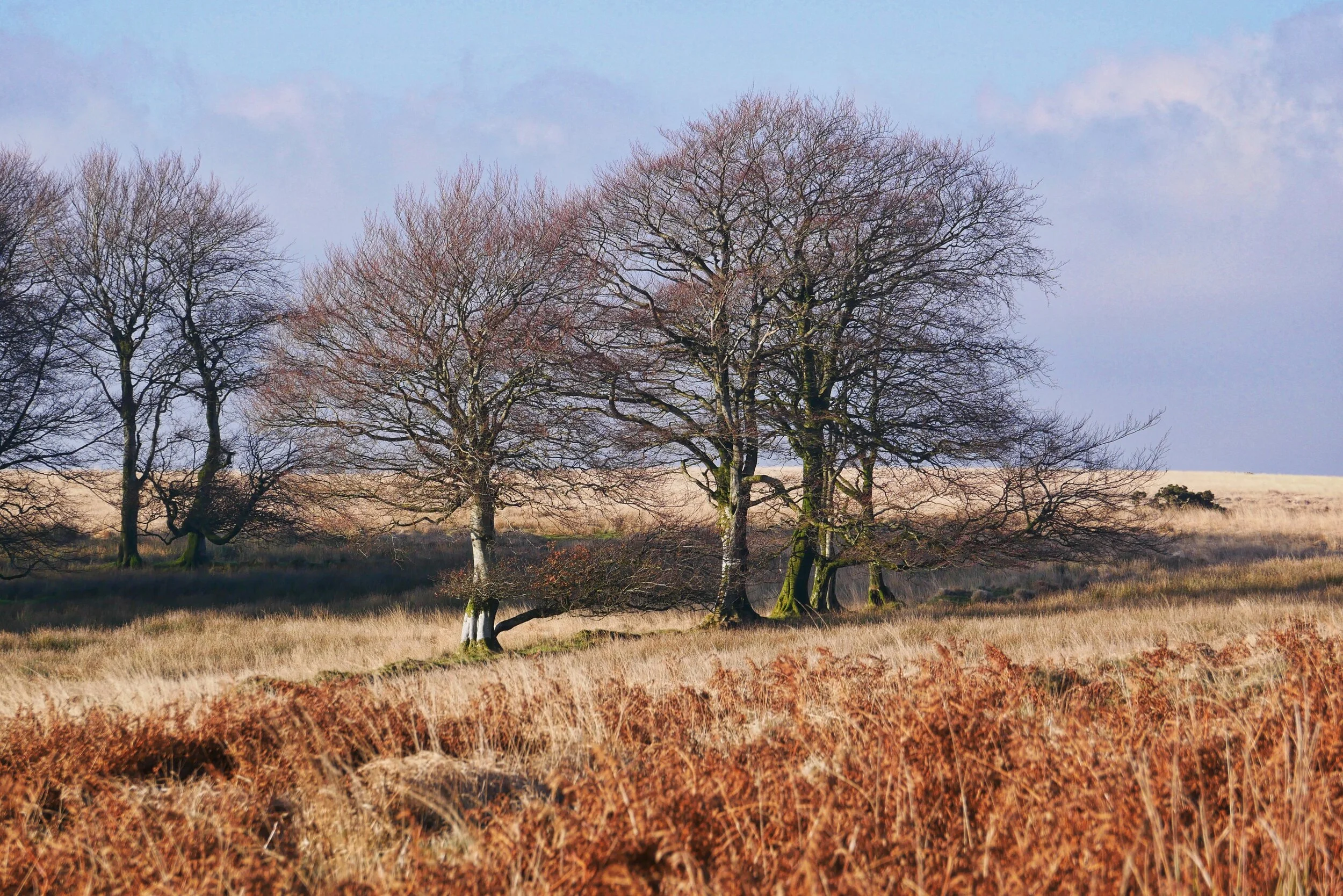
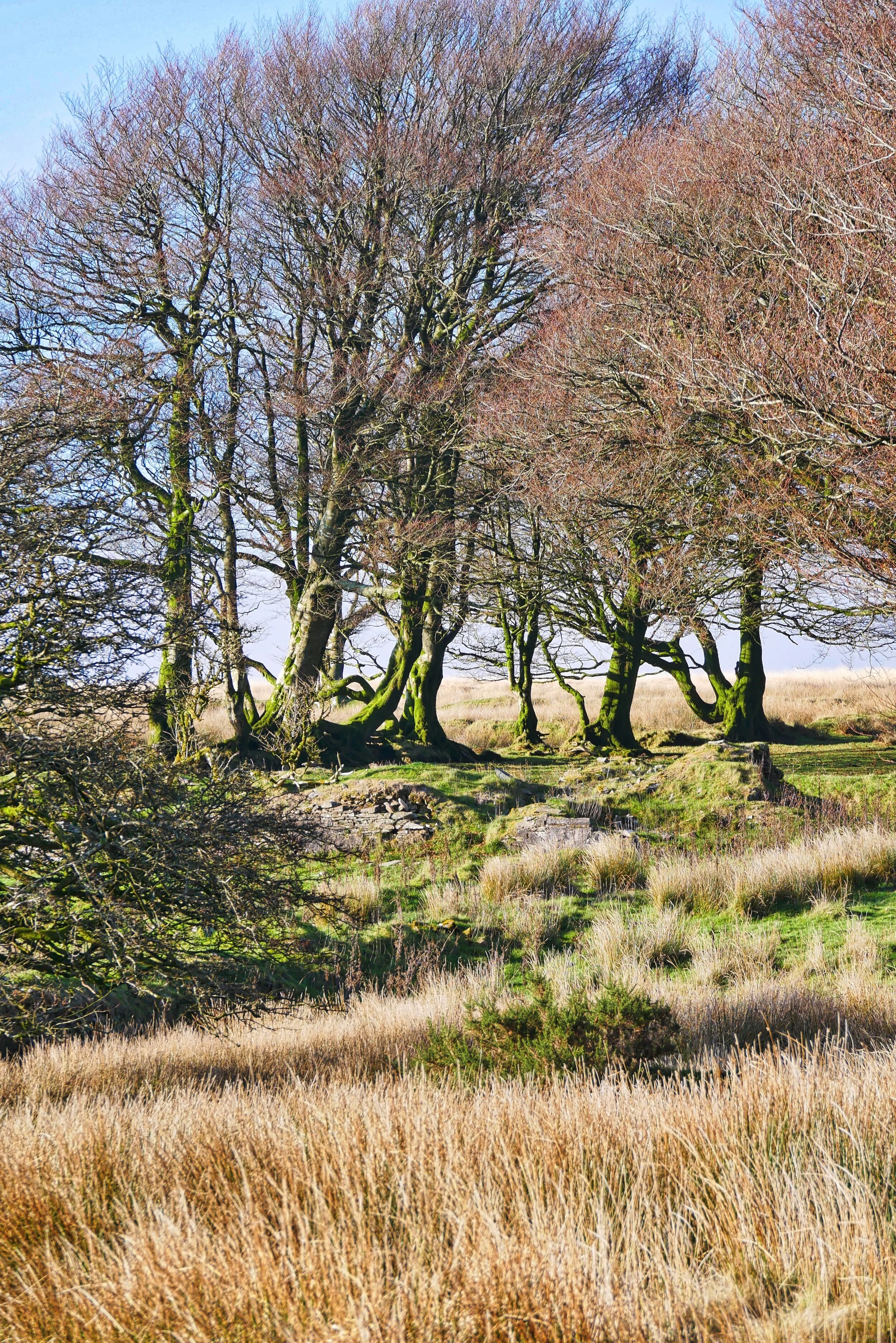
Old beeches around Larkbarrow
There’s an increasing argument over what these islands may have looked like before humans turned up to chop, clear, farm and eventually mess the whole place up. This landscape is, in my opinion, as close as you will get.
This is the England of the giant aurochs – a massive, extinct grazing beast twice the size of a modern cow. This is where great herds of big animals would have once roamed unmolested.
This is the great emptiness. The great void. Birthplace of rivers. Home of fresh air. Shrine of solitude. This, indeed, is the best antidote to modernism I can think of.
Track to Larkbarrow
You’ll find it by travelling halfway along the Exford/Porlock road - which happens to be one of the most scenic thoroughfares in the West Country, passing as it does along a series of watersheds that separate the Dunkery range and the rest of the central massif.
Stags near Alderman’s Barrow
Eventually you’ll come to an isolated lane that heads west. This will take you to Alderman’s Barrow, before rounding Larkbarrow Corner to scuttle away from the moors again and rejoin its former companion way, way down near the village of Exford.
Approaching Larkbarrow
But it’s Larkbarrow Corner I love returning to. It is a corner rich in walks. But now we’re off in a different direction to soak up the very best the wild savannah beyond can offer.
What I wanted to do was follow the route of the old trans-Exmoor canal. In case you are puzzled, thinking you’ve never heard of such a thing before, then I’ll admit there never was a proper waterway across the moors – nevertheless, the route of some kind of canal can still be seen.
Central Exmoor scene
To find it my we marched west from Larkbarrow Corner out into the middle of nothing - or rather, onto a big bald hill known as Elsworthy - and following the contour high above the deep ravine of the Exe we found the shallow workings of what was planned as a narrow waterway.
Why is it here? Who built it and what on earth for? As far as I can make out no one really knows for certain – but the general feeling is that John Knight, the great Exmoor “improver” (or dreamer, depending on which way you look at his work) had plans to build a railway to take out the ore from mines he owned in the central moors.
Solitary walker at Beckham
Long, long before we get anywhere close to far flung Pinkworthy Pond where the canal begins, this walk leaves the waterway as it rounds Ware Ball. Now we simply do a right-to-roam and walk north into the great area of nothing.
We’re heading for a birthplace of a hundred springs – otherwise known as Beckham – but nothing to do with the footballer, which is just as well because this is probably the last place on earth he’d ever be likely to visit. All I can tell you about Beckham is that you will find it by walking to map reference SS419807.
From there we dropped into the shallow valley system which is part of the East Lyn’s youthful river system, and made our way north east to the ruined farm at Larkbarrow.
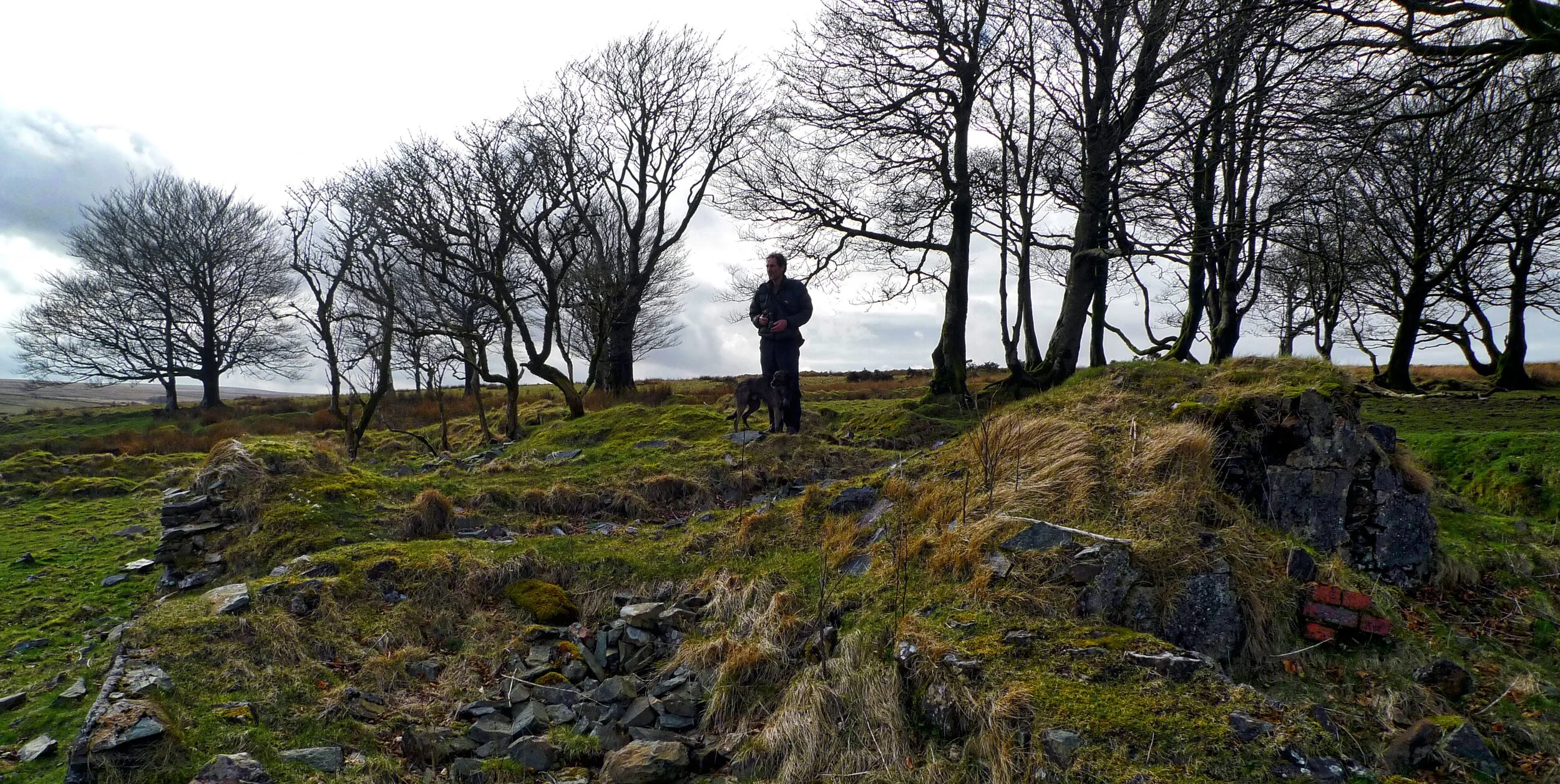
Walker at Larkbarrow ruins
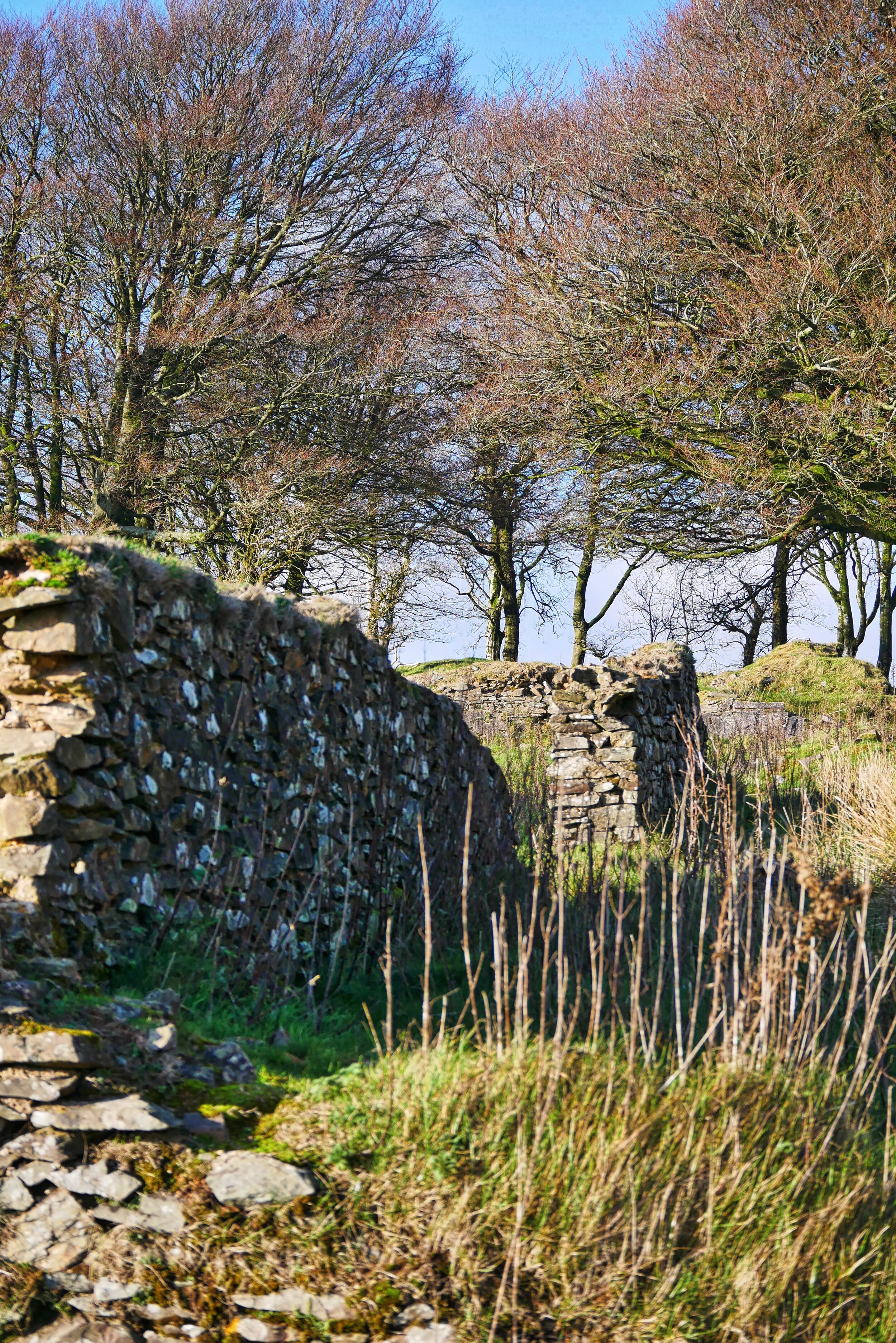
You can see the ruins of the farm that once stood here defying loneliness and solitude – and you can also see the traces of the bullets and shells that blew the place to smithereens when Allied troops trained on manoeuvres here during the Second World War.
From this desolate place it’s simply a matter of following the track east then south, a mile and a half back to that celebrated birthplace of walks, Larkbarrow Corner.
Fact File
Basic walk: from Larkbarrow Corner west around Ware Ball, north to Beckham, then onto Larkbarrow Farm and back to start.
Distance and Going: five miles, can be very boggy in places.
Recommended map: Ordnance Survey OL9 Exmoor
Mists at Larkbarrow


