Somerset Walks - Aller and The Rhines
Rattling east on board the train from Taunton to London in the time before Covid I spotted the place where I once attended a Defra event to commemorate the signing of the Convention on Wetlands - and the memory prompted me to return and take a walk out across the big, empty, beautiful polders of West Sedgemoor.
The area was designated as a “Ramsar” site (after the Iranian city of Ramsar where the convention was signed in 1971) because of its importance as a wildlife habitat.
And so I did return one day, when birds flew about the place in great profusion and the Levels did their usual thing of becoming a huge skyscape - all sky and wing - with just a thin horizontal band of autumnal earth and water to remind you that this really is one of the loneliest and loveliest places in the West Country.
That Defra event several years ago took place at the RSPB’s Dewland’s Farm, just north of the village of Curry Rivel on the Taunton-Langport road - but I began my walk by the side of the River Parrett near Oath Farm.
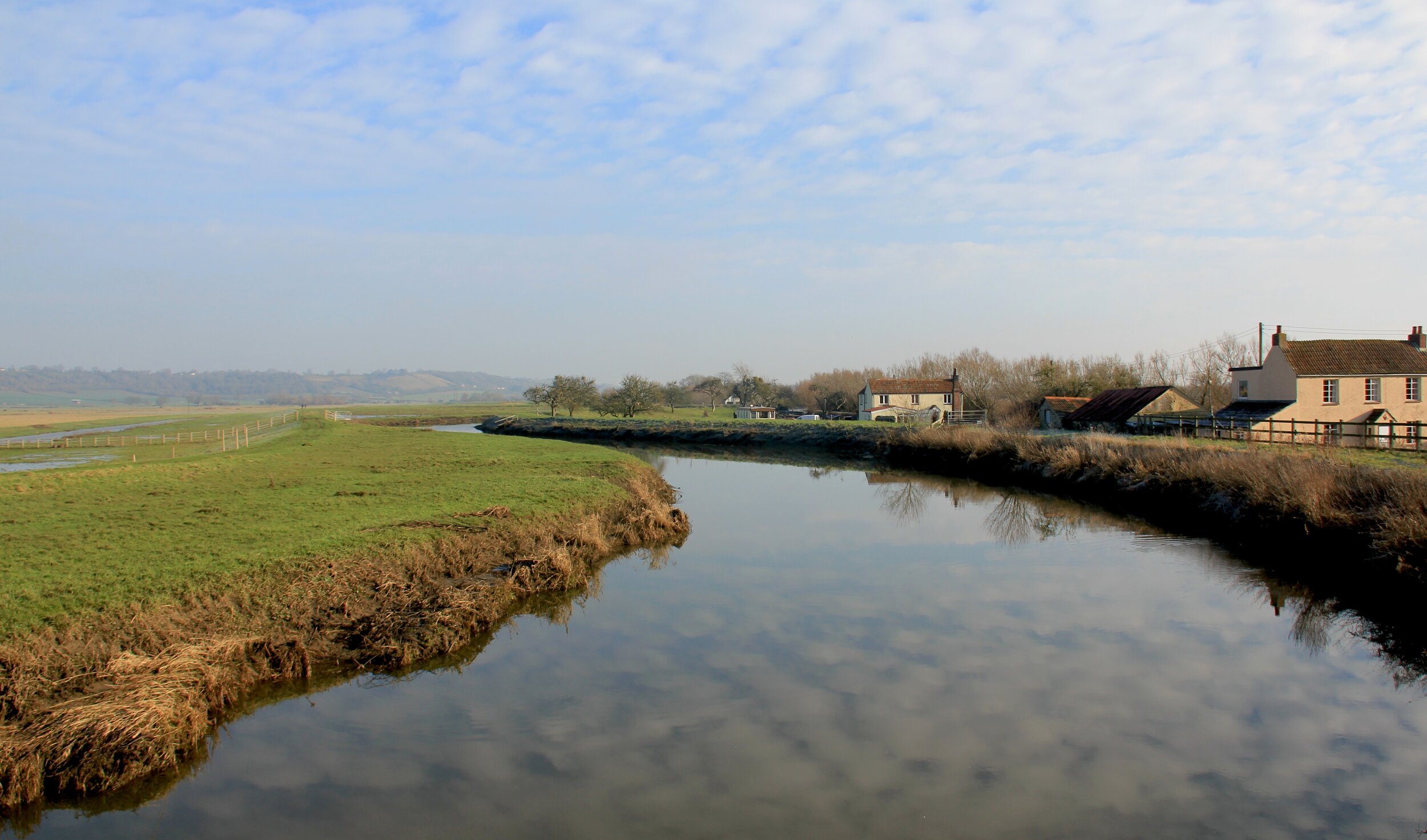
The Sowy near Oath
From here I could look north-east out across Aller Moor to Aller Court Farm and its church. A footbridge took me across the Parrett and onto the plain, then another bridge (which crosses the River Sowy - actually a flood relief channel) placed me on the path that heads dead straight across the meadows to the church.
The old farm and church at Aller
What terrible things went on here in 1645. The English Civil War was in full swing and the high ground to the rear of Aller and Langport was the scene of a huge battle that took place between 7,000 Royalist and 10,000 Parliamentarians. After a brave and hard fought initial stance by the former, the rout was on and soon panic was spreading through Royalist ranks. Groups of men fled down into these low lying marshes as they attempted to make for Burrowbridge and Bridgwater beyond. Rout and skirmish is what they call it – hard pressed soldiers would regroup and make a stand to fight, only to give way and take to their heels again. No one knows how many people died out here on the 10th of July that year, but it is likely that the rhymes ran red.
Hard to think of that now, in this most peaceful of places. Only swans rout and skirmish today – or at least they did last week when there seemed to be huge numbers of them in the vicinity. I also spotted a crane (at least I think I did - it was a long way off) which will have been the happy result of the successful project to introduce the birds to the Levels.
After crossing various tiny footbridges over drainage ditches I eventually made it to a track next to Aller Court Farm – a handsome old place built upon a slight eminence which was one probably an island in the middle of impenetrable swamps. The map reckoned the footpath should continue in front of the farm and so we continued – though I had to duck under several electric fences. But soon enough I was in the churchyard and admiring the views from between the trees.
I recalled visiting here a few years ago when a man called Ted Knight arrived to tend his parents graves and I asked him if he knew where my great aunt’s grave could be. He didn’t know, for sure but certainly remembered the old lady who played the church organ with one hand.
Ted was one of those friendly and amiable countrymen who had time on his hands to tell us about the local village of Aller, where he was born and bred.
After musing a while in the churchyard, and recalling boyhood memories of my aunt’s home which neither electricity or running water, I found my way across to Aller Drove which took me away from the village. It is a paved lane that shoots more or less straight out across the polders towards distant Othery.
The area was at the centre of the dreaded Civil War rout, but we had very little trouble with either Parliamentarians or with traffic as we wandered along its lonely length - and every single step of the way I thought about my late grandfather who was born and bred at the northern end of the drove. Not only thought about him, but could almost feel his presence as I recalled him telling me how, at the age of eight, he’d been employed to come out here in summer to scare birds away from the few fields where crops had been planted. He was a very good chucker of stones, my granddad.
Aller Farm
Eventually the road crosses the Sowy River near the hamlet called Pathe and, just on the other side of the bridge I found the gate that took me onto the public footpath which, in turn, took me in a great arc back along the waterside to join the Parrett at Stathe. This is where the humble path becomes the grander River Parrett Trail and it was simply a matter of continuing along it to Oath.
A lovely, lonely circular walk full of birds taking to the blustery skies. Thank goodness someone 49 years ago had the good sense to realise that wetlands are worth preserving.
Fact File
Basic Hike: from Oath on bank of River Parret, across the river to Aller Church, then north-west along Aller Drove to Pathe Bridge, taking footpath on the left to return along Sowy River to Oath.
Recommended Maps: Explorer 140 (Quantock) and 128 (Taunton).
Distance and going: four miles, easy going (specially when it’s dry).
Local knowledge
All’s well at Aller
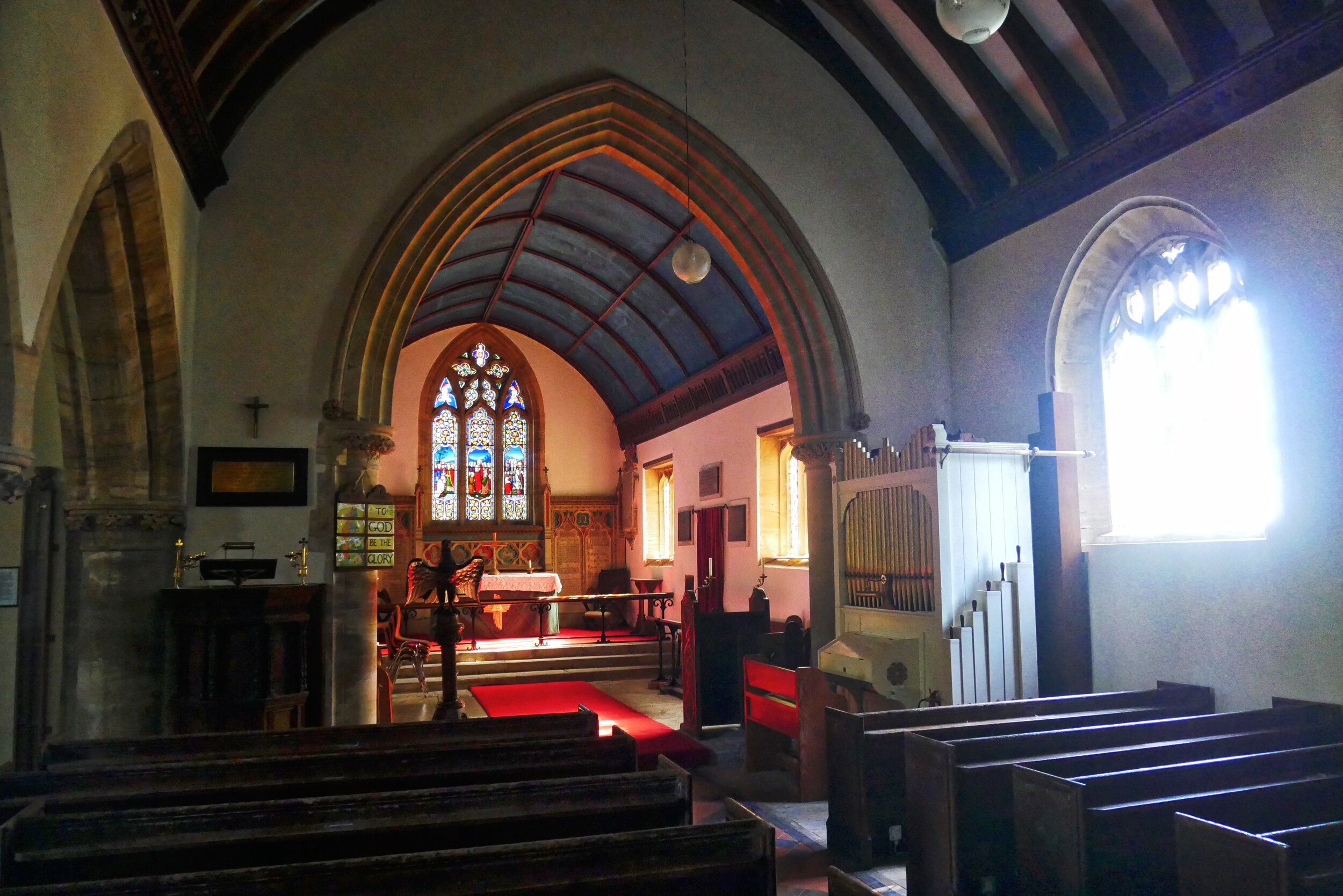
Visit the church at Aller while on this walk - the font is Saxon, one of only three in England - possibly the one used for the baptism of Guthrum after his defeat by King Alfred at the Battle of Ethandun in 878. It was retrieved from the pond of the vicarage garden.
Hike up to High Ham
From this walk you will see an escarpment rising to the south - up there, out of sight in the hills, is the enigmatic village of High Ham. One corner of the escarpment is National Trust owned Turn Hill - a fabulous place for views if ever there was one.
Aller Church


