Cornish Walks - Cawsand to Rame Head
The peninsula located across the Tamar west of Plymouth is sometimes known as Cornwall’s Forgotten Corner. Visitors from upcountry tend to pass by when heading further towards the big blue Atlantic, but they are missing a wonderful treat. The coastline from Cawsand out to Rame Head is wonderfully wild and scenic - indeed, it is hard to imagine you are just a few miles from the 11th biggest city in the country.
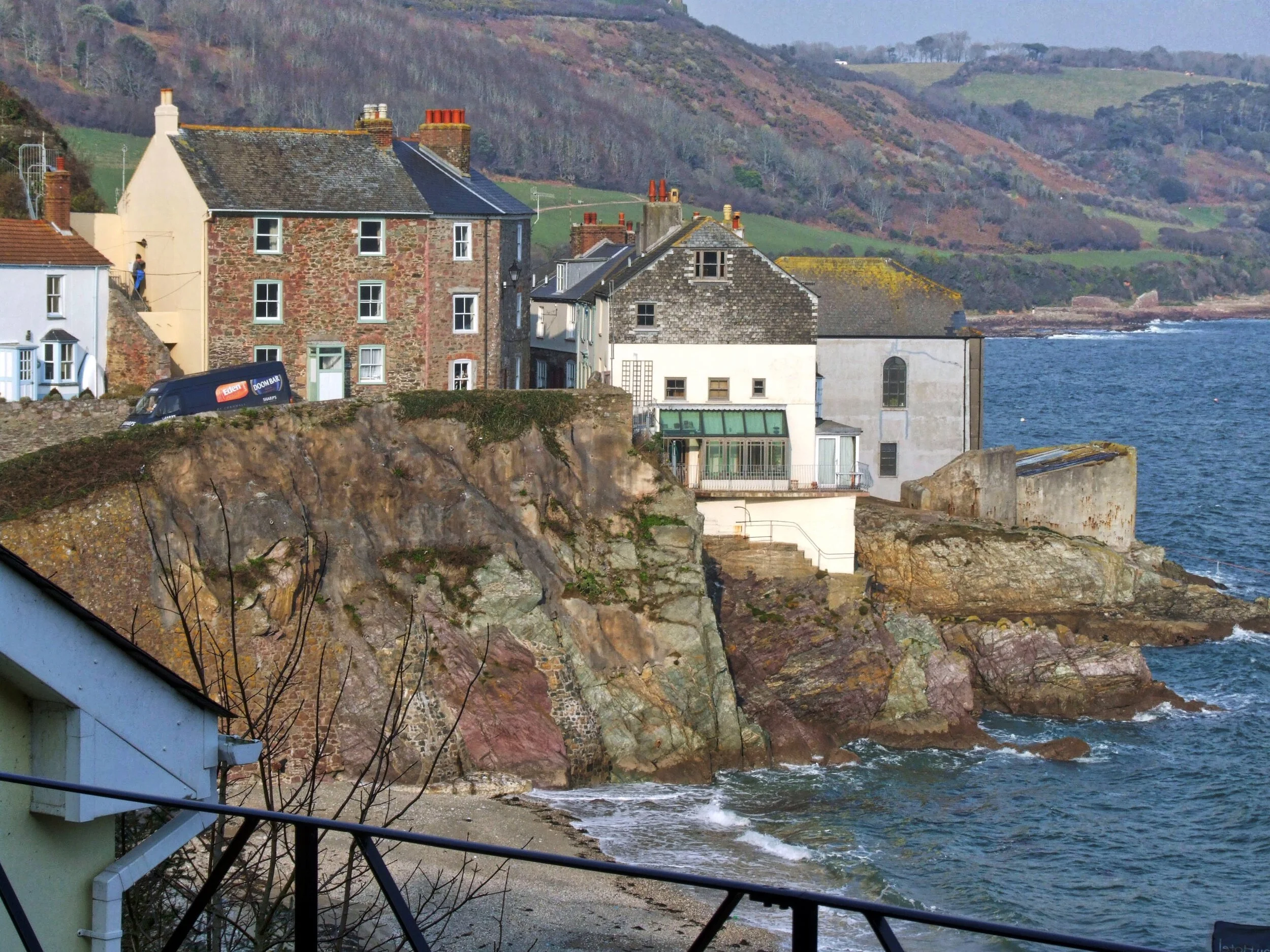
Cawsand is a jewel of a village tucked in a delightful bay which is just inside the gulf created by the mouth of the Tamar. Forget the rat-tat-tat of the gunnery practise that sometimes seems to haunt the place - where the guns are I have no idea, but several times I have been to this charming village the British Navy has been practising for war somewhere nearby.
Today’s hike describes the admirable plod around Penlee Point to Rame Head and back past Polhawn Cove and over the isthmus by Trehill.
Geographers might quibble at the word isthmus describing the chunk of land that fixes Rame and Penlee to the rest of Cornwall - but if you look at a map you will see that this is a curious upside-down-anvil of a peninsula with the thin bit situated between Polhawn Cove and Cawsand. As such, it offers a wonderful example of that rare-but-sought-after enigma: the circular coastal walk. Five sixths of it is by the sea while the final furlong takes you inland over the hill back to where you began.
There’s a sort of village square down in the middle of Cawsand and it’s at the top western corner of this that you will find the Coast Path. Just above the Gig Shed - which I mention because I once had a rather unpleasant experience in there while filming while auditioning for a TV programme. The local gig-men were marvellous, the problem was the awful producer who bossed us all about. She was a large, unfit and out-of-breath woman - and out of her depth - and I was drowning not waving under her overbearing direction.
“I am the boss, not him,” she yelled at the mild-mannered fellows who wanted to tell me about their beautiful, sleek, go-fast boats.
The memory of her almost ruined the beginning of this walk, but soon the cool glades and hangars of the wooded coast pushed the fat producer back into the mists of time and I could only hope that she eventually sank without trace in the cruel sea of local TV.
It’s a level and well-laid track that takes you out to Penlee Point - which is what you can expect from a path built by the aristocracy. No bumpy-ups-and-downs for the Earl of Edgcumbe when, back in the 19th century, he had his labourers build the Earl's Drive.
I guess he wanted a carriageway out to the arched grotto that embellishes the point and enjoys the most superb views of Plymouth Sound.
Now we turn west along the big fat base of the peninsula - and hot going the one-and-a-half miles was in the warm weather when i last did this hike.
Far below Lillery’s Cove looked blue and green, deep and cool. And talking of that path, I have the feeling that this may have originally run down to the sort of small coastal fields that you find all along the south coast. Early sea-borne spuds, briney broad beans - that sort of thing. I’d love to find out more about the south-facing, seaside fields of Devon and Cornwall as I find the idea of such maritime, microclimate, agriculture absolutely fascinating.
Rame Head is a magnificent affair and to reach it you must climb countless steps on a detour which will lead you to the top of an oceanic knoll. Here stands the 14th century Chapel of St Michael - which is par for the course because so many high altitude chapels are named after this particular saint - Brent Tor or the one perched on top of Glastonbury Tor to name but two.
The one at Rame is in ruins but I was told the local church comes out here once a year for a full blown service. If you want to be close to God then this place - twixt heaven, earth and sea - is better than most.
The wind never stops whispering among the wild lichen gardens of the holy eaves and from the chapel's gaping southerly window you can see the Eddystone Lighthouse being vertical and brave out there in the great disc-world of the sea.
Wild deer on the slopes of Rame Head
Next it’s north around Queener Point and north again past Polhawn Cove where an inland path strikes off up the hill to the old military road. Turn right at the top and the modest highway will take you down to Cawsand - a journey that can be shortened by finding the footpath that crosses the fields and cuts off a huge corner under the hamlet of Rame.
It’s a bit on the fat side to be called an isthmus I know, but in no time at all you are back at Cawsand where you can admire the sleek gigs and loll upon Forgotten Cornwall’s secret the shore.
Fact File
Basic Hike: around the Penlee Point and Rame Head Peninsula from Cawsand.
Recommended Map: Ordnance Survey Explorer 108.
LOCAL KNOWLEDGE
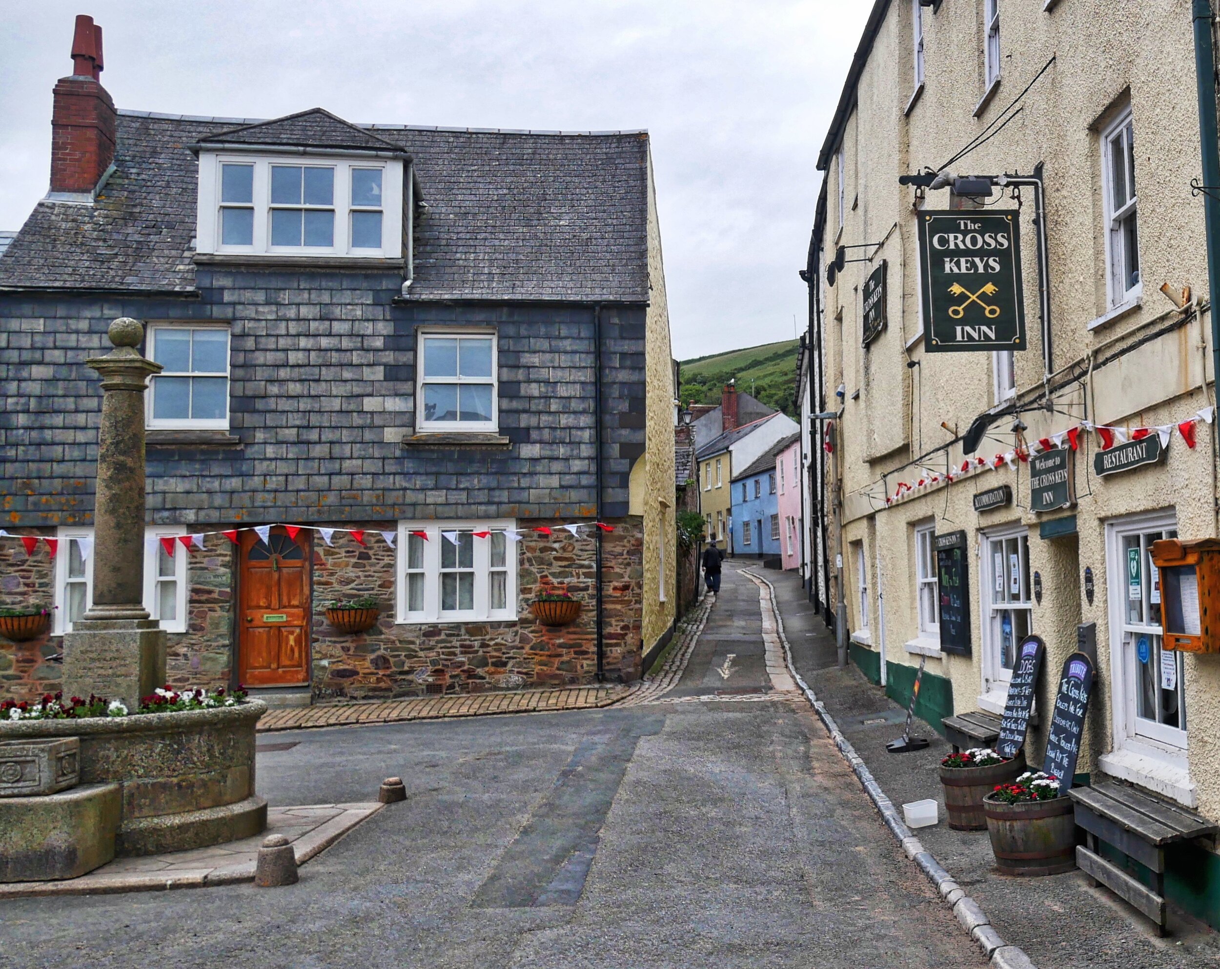
Cross Keys - Cawsand
In my hurry I didn’t have time to grab a bite after my walk but am reliably informed the Cross Keys in the heart of Cawsand does fantastic food.
https://www.crosskeysinncawsand.com
Alleys and opes
One of the many joys of exploring Cornish seaside villages is ducking and diving through the nooks and colourful crannies and alleyways - or opes as they’re sometimes called - both Cawsand and neighbouring Kingsand have their share.
Devonport Inn, Kingsand
Last time I was there I visited this hostelry for a spot of lunch… If you need refreshment in Kingsand try the Devonport Inn, which a colleagues recommends. www.devonportinn.com
Weird coloured rocks on the beach at Cawsand


