Exmoor Walks: Grabbist Above Dunster
I have been working on my children’s story today - which is a nice thing to do on a wet and windy afternoon until your eyes grow weary with the words on the screen.
The story is a sort of Dunster Fairytale - and it put me in mind of this lovely walk in the area.
I’m talking about the hike that takes you out of Minehead and across the hills that lie inland to the south of the seaside town.
Minehead, for those who don’t know it, is surrounded by high steep ridges which stretch around from the west to the south (to the north lies the Bristol Channel and to, the east, the flatlands of Dunster marshes).
North Hill, to the west, is the prominence more favoured by walkers because it runs along the coast and plays host to the very start (or end) of the South West Coast Path. But the ridge to the south offers a fine hiking country as well, because you can still look down on plenty of seashore - but you also eventually get enormous vistas of the Avill Valley running up to Dunkery Beacon (Exmoor’s highest hill) and also of the central massif that is Croydon Hill, above Dunster’s historic Deer Park.
We walked up out of Minehead town centre to a place called Cher which is on what passes for the Minehead-to-Porlock bypass. Strange name, Cher - and nothing to do with female rockstars. Instead it is an ancient place where the Minehead Hobby Horse has traditionally performed a kind of primeval mating ritual on the dawn of each May Day.
I remember witnessing these shenanigans some 30 years ago and, even then, wondering if something called political correctness wouldn’t one day step in to “clean up” the act. Think: fair maddens being held down underneath the shifting pulsating girth of a giant frisky man-made horse…
Anyway, moving rapidly on we turned right and walked along the pavement for a few hundred metres before crossing the main-road and heading up the steep lane that eventually leads to Hopcott Common.
Soon the climb takes you into the trees and after a while the paved road terminates in a car park, after which there is a choice of tracks which continue to ascend towards the common and the top. My advice is to stick to the tracks on your right, otherwise you might find yourself being lead along the contours to Alcombe Common, which is a bit low down on the ridge for our overall intentions.
The righthand tracks will take you up through the trees and eventually introduce you to an ancient beech hedge (in which the trees have grown to heights of 60 or 70 feet) and this in turn will take you out onto the airy heaths of Hopcott ridge.
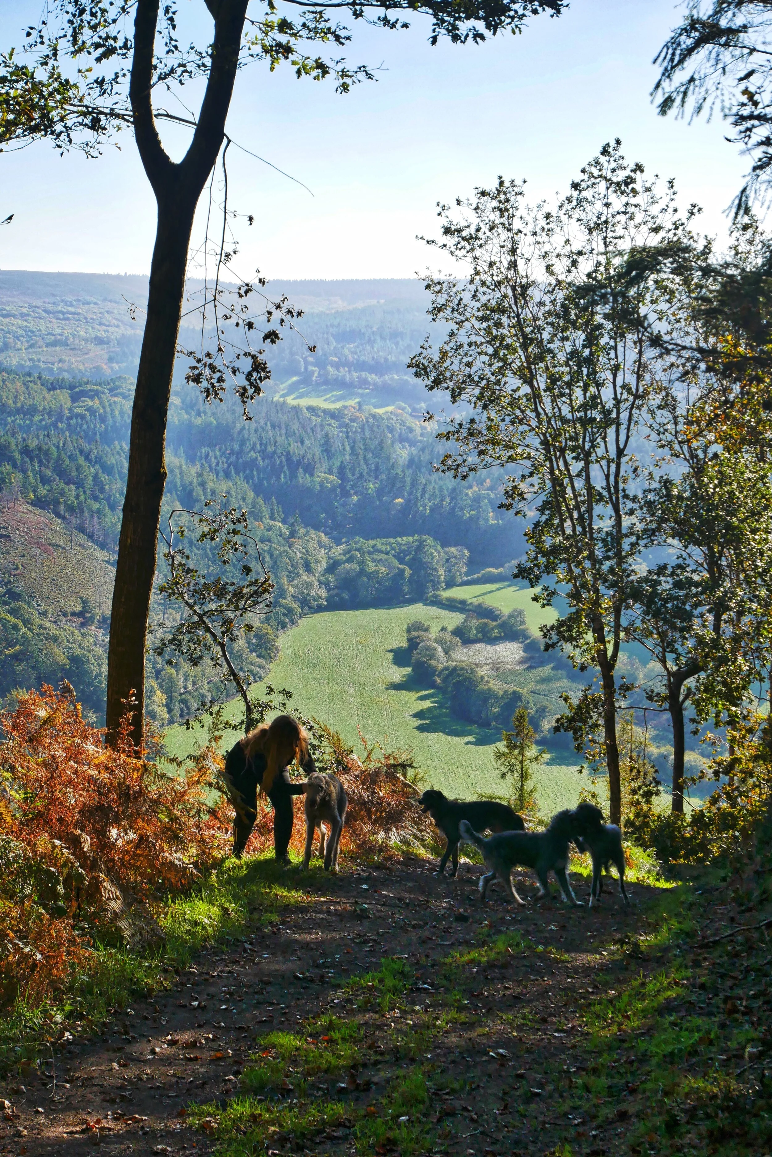
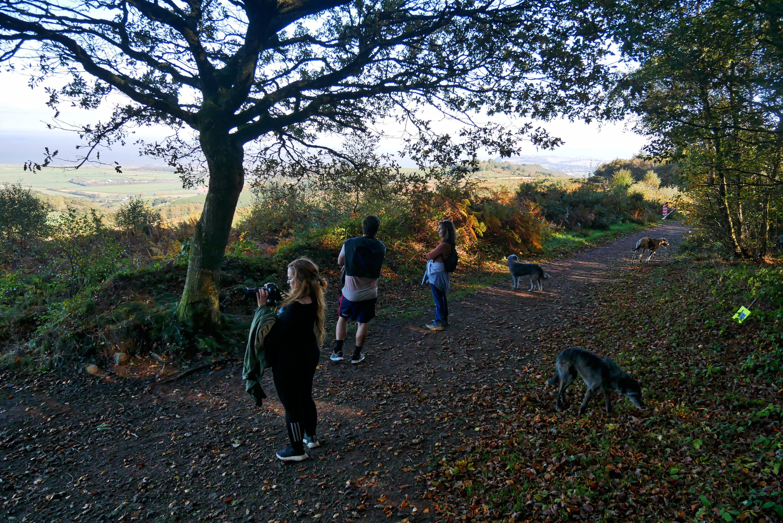
Up here you are treated to magnificent views not only of Minehead far below, but of most of the vale of West Somerset, whose shoreline stretches east toward the distant Quantock Hills.
We turned left to join the main ridge track and walk in the direction which increasingly revealed more and more of the vale. Once the Knowle Hill forests were out of the way on our righthand side, we were also able to see the deep, green, almost gorge-like valley of the Avill. Across the abyss to the south we could spy Vinegar Hill rising to lovely Gallox Hill with the remains of its ancient fortress - and past that there were the great forests of Croydon Hill climbing ever upwards towards the distant high escarpment of the Brendons.
It’s a wide and well-worn track that runs east to Grabbist - the famous hill where Mrs Cecil Frances Alexander was so impressed that she wrote the hymn All Things Bright and Beautiful.
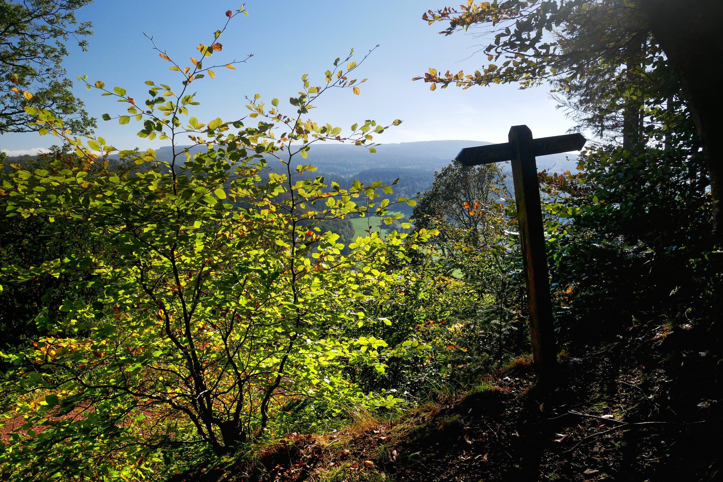
As you near Dunster from this altitudinous angle, the track divides once or twice - but what we are looking for is the little path at Grabbist which cuts down the steepest (or southerly) side of this most vertical of hills. You could go straight on down into the village (as indeed this column did last time it ventured this way) but this time I wanted to take the public right-of-way that runs down through the trees on that near vertical southern slopes.
It’s not too bad a descent, as the track drops gently down the contours rather than plunging straight for the bottom - which is just as well because if it did you’d need a climbing rope.
Down and down goes the path - past then little shelf where the old Giant of Dunster is said to have lived - to a junction near the foot of Grabbist where you can go either left or right. We chose the latter because my daughter had left her car in the old Gallox Bridge part of the village.
I suggest you do the same because you can stroll down to the ancient clapper bridge on the other side of which there’s a newish path that will take you down beside the River Avill under Dunster Castle’s ramparts before introducing you to the village’s main car parks. Beyond these there’s the A39 Minehead road where you can take a bus back to town, or a little further still there’s the West Somerset Railway which will do the same. Or you could walk on to the beach and turn left along the West Somerset Coast Path - which would eventually take you back to Minehead seafront.
Either way, this is a lovely, lovely, walk that will show you unusual and dramatic views of some of the best known places in West Somerset.
Fact File
Basic walk: from Minehead over Hopcott Common to Dunster returning by bus, steam-train or along the West Somerset Coast Path.
Distance and going: one way walk 4 miles - just over 6 if returning via the coast - easy going good tracks but a steep climb up to Hopcott.
LOCAL VENUES
Beyond the woods, the Foresters
At the base of steep Grabbist Hill you will see the roadside Forester Arms in Dunster - a good local for a drink and some pub grub. https://www.foresters-arms-dunster.co.uk/
Liking the Luttrell
In the centre of Dunster there’s the famous Luttrell Arms - a wonderful and stylish historic inn with excellent food. https://www.luttrellarms.co.uk/
All Ashore for the Ship Aground
If you’re walking back along the coast - or if you fancy lunch or a snack back in Minehead rather than in Dunster, try the Old Ship Aground down by the quay where the food is reasonable and very reasonably priced. http://www.theoldshipaground.com/


