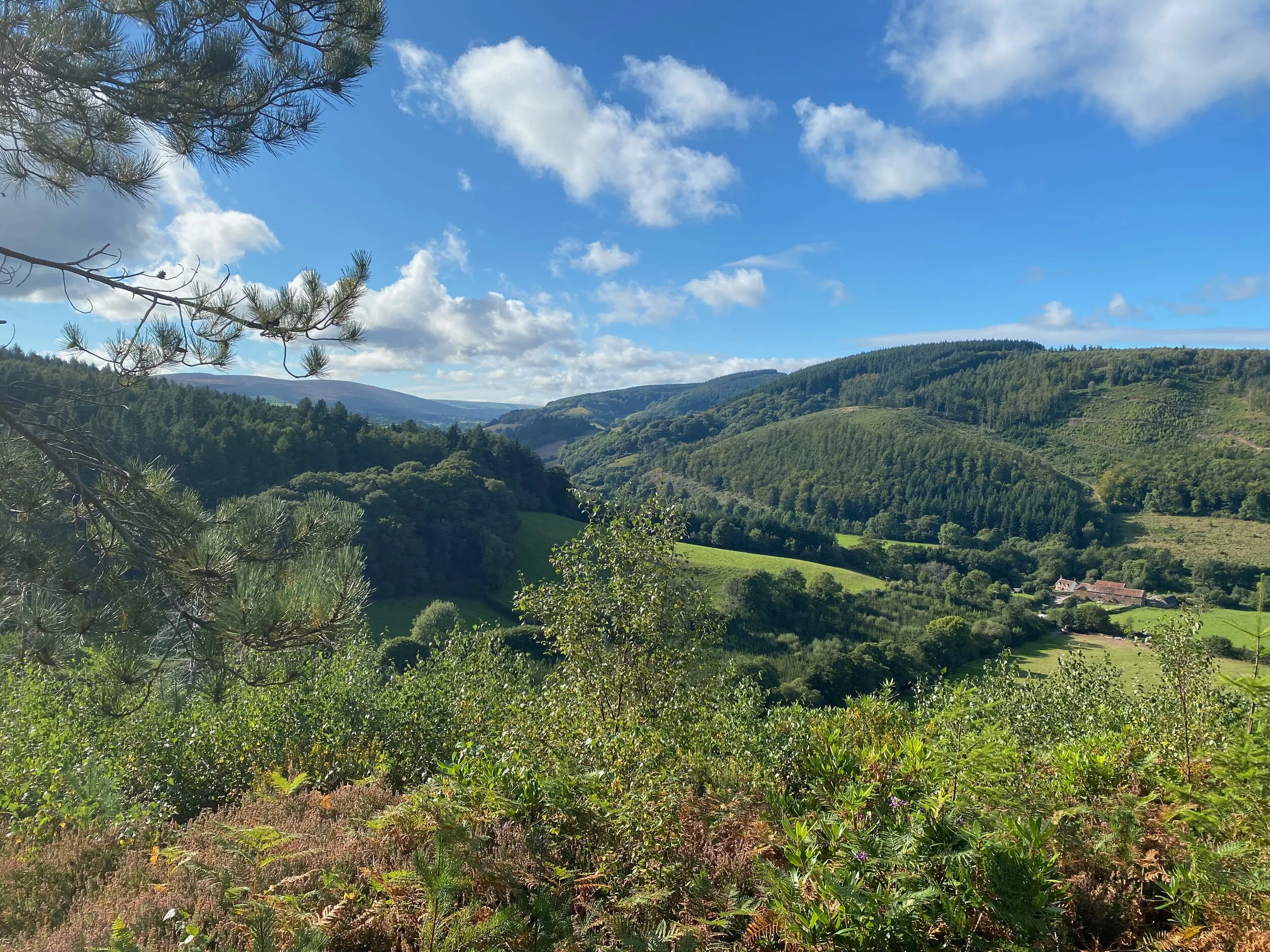
All Things Bright and Beautiful
Having put the video below up on Twitter and Facebook earlier I had a lot of people enquiring where the view is. Well, this walk explains - and talks about the very place where Mrs Cecil Frances Alexander wrote the hymn All Things Bright and Beautiful…
In fact, I have spent months writing a 35,000 word children’s story - or a modern fairy tale - based on this walk and I will be talking about that on this website very soon.
Having parked in the small car park near Gallox Bridge (turn left at the Forester’s Arms as you leave the village on the Wheddon Cross road) I followed the old packhorse trail into the hills south of Dunster.
The packmen of old used to frequent an inn called the Horse and Crook somewhere around here – the pub’s long gone, but they used to take their trains of horses, mules and donkeys across the old pack-horse bridge that still stands at Gallox.
If you look over your right shoulder while walking across the bridge, you will see Grabbist from where, legend has it, a super-sized ogre used to reside at the locally named 'Giants Seat'. Apparently he was a nice old giant, the villagers would get him to dry their washing by wafting one of his huge hands.
Dunster Castle
The village has another ancient giant legend which claims one huge fellow had been locked in a dungeon. This one eventually turned out to be true - a massive manacled skeleton was uncovered during the last century in Dunster Castle's Gatehouse.
Having reached the forest gate above Gallox Bridge, I turned left and followed the path towards Carhampton. This took me up over a pleasant corner of down-land, affording the most fantastic and unusual views of the famous castle.
The last time I was up here was when I was writing an article about a friend who has continued the tradition of collecting ash branches to make the ashen faggots which are ceremoniously burned on Christmas Eve. Somehow in the sweltering heat last week, I couldn’t bring myself to think of Christmas.
At Carhampton Gate, we come to the old deer park boundary. I turned right and followed it along a track called Park Lane which ascended up over the hill to Withycombe Hill Gate.
Finn and Tadgh racing across the heath
This is where I re-entered the park by walking through the gate on my right to continue straight on, out onto the big bald hill that play’s host to Bat’s Castle. This is one of the most tremendous prehistoric remains in the West Country – and I say that not only because of its extraordinary ramparts (which play host to whortleberry bushes aplenty), but because of the sublime views you get in just about every direction from the top.
In fact, you get more-or-less the same view of the Avill Valley running up to the high point of Dunkery Beacon as the one Mrs Cecil Frances Alexander enjoyed from Grabbist more than a century ago. She was so impressed that she wrote the famous hymn 'All Things Bright and Beautiful'. Dunkery might not be exactly a "purple headed mountain" - but the rest of the hymns rings as a pretty true description of village and vale.
Toward Dunkery from Bat’s Castle
From Bat’s Castle I continued along the ridge in a north westerly direction to the neighbouring prehistoric settlement perched on the top of Gallax Hill (yes, the spelling is different from that of the bridge – but that’s what the map says).
Yet more stunning views, especially of the strangely shaped knolls - like the one at Avill Ball - which are a feature of the hillside opposite. To the west of the old settlement there’s a path that will take you down around the flanks of strangely named Vinegar Hill, and introduce you to a track that leads east directly back to the packhorse bridge.
Having crossed it, I’d recommend a little detour to the working flour mill that plies its trade just a few yards downstream. It’s a fascinating place where you can watch the flour being ground with the help of waterpower, before purchasing a bag of the stuff to take back home. Where you can use it to make a whortleberry pie – if you are lucky enough to find some of the delicious berries on this most spectacular of walks.
Fact File
Basic hike: from the southerly quarter of Dunster, across Gallox Bridge to the Deer Park. East to Carhampton Gate, south to Withycombe Hill Gate, north west over Bat’s Castle to Gallax Hill and back around Vinegar Hill.
Recommended map: Ordnance Survey Explorer OL9 Exmoor.
Distance and going: three-and-a-half miles, a little steep in places – can be muddy.
View from the other side of the Avill Valley looking east back towards the viewpoint in my video


